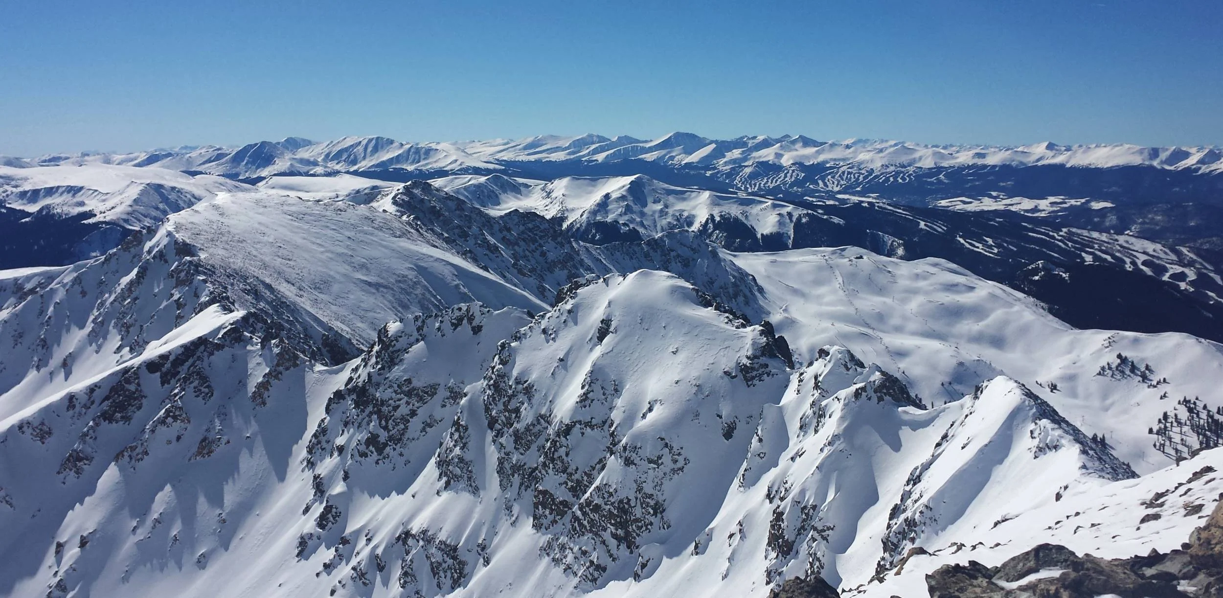
Climbing Grizzly Peak in the winter is probably not at the top of your Colorado to-do list. It's got stiff competition, after all. There's skiing. There's warmth. But if you're interested in a fun winter challenge, Grizzly Peak is a fantastic option for an entry-level snow climb. It's accessible from Loveland Pass making it a nice choice for a single-day outing from the the Front Range. Plus the round-trip hiking distance is less than six miles which means you'll get to enjoy morning coffee AND dinner in the comfort of your own home. Why else would you want climb Grizzly Peak in the winter?
You Like Summer Mountain Climbing
Come summer, many outdoor folks hit the hills in pursuit of Colorado's 14,000-foot peaks. This is an awesome experience, but let's not forget about the 600+ gorgeous and often equally challenging 13,000-foot mountains. Topping out at 13,427 feet, Grizzly Peak is not Colorado's most noteworthy summit, but it's an excellent place to try winter climbing. Expansive views of snow-covered mountains are an amazing reward and a totally different experience than what you get atop peaks in the summer. If you enjoy the challenge of hiking at elevation and you're comfortable navigating off-trail terrain, Grizzly Peak is a wonderful place to broaden your mountain skill set and lengthen your climbing season.
You Don't Ski
Contrary to the Colorado stereotype, maybe you don't actually ski. It is fun, but it's only getting more expensive and more crowded. There are many other great options for winter activities in Colorado, and a winter snow climb is a great way to get outside, avoid crowds and not spend a small fortune. Grizzly Peak is an enjoyable snow climb that requires solid fitness, but not extensive technical skill, making it a good choice for beginners to winter hiking and climbing. What are the prerequisites? Experience hiking at elevation is very strongly recommended (i.e. you've been hiking above 12,000 feet and therefore know it's hard to breathe up there). However, if you can run five miles at a reasonable pace without stopping, your fitness level is likely right for this climb.
Climbing Grizzly Peak
Elevation: 13,427 feet
Round-trip Distance: 5.6 miles
Trailhead: Loveland Pass Summit
Map: National Geographic Trails Illustrated #104, Idaho Springs and Loveland Pass
Additional Map Link: Caltopo
Recommended Resource: Colorado Snow Climbs by Dave Cooper
Start your climb at the parking area off the east side of the Loveland Pass summit at just over 10,800 feet. Your route and the Grizzly Peak summit are visible from here. Climb northeast just under one mile to the high point at 12,915 feet. From here, follow the ridge going southeast (turn right from the high point) to the summit of Grizzly Peak.
Along this ridge you'll encounter several additional drops in elevation followed by steep gains, so have patience with these sections and appreciate the spectacular views along the way. When you reach the final summit section, stay to the right of the ridge as you ascend to the summit. Take in the gorgeous views of snowy peaks all around you, including neighboring Grays Peak and Torreys Peak to the east. Descend the same route.
The majority of this climb is on a high ridge with relatively low avalanche danger. However, be mindful of the snow cornices (accumulated windblown snow) that form along the ridge, and stay on the solid ground away from the cornices.
An ice axe and crampons are recommended for this route. Depending on conditions, the snow can be soft in many sections, so steps can be kicked into the snow and an ice axe can be used for extra stability. On harder, steeper snow, crampons are optimal for traction. If you are not familiar with these tools, check out this short and excellent video on using an ice axe and crampons. These tools can be rented at many mountaineering shops including REI.
Like any mountain outing, it is essential to be prepared with the proper clothing, food and water. Check snow and weather conditions, including wind, before you go. Even though the entirety of this route can be seen from your car, always bring a map with you.


